


More than a visit
There are many reasons to choose Lithuania, but here are some of the most essential

Meet a Local
Pilies St. 7, 01123 Vilnius


Amber gathering
Lithuania


One country, five experiences
If you decide to spend at least a week in Lithuania, you can do a lot. Select the vehicle of your liking – whether it’s a bike, motorcycle, car, bus or train – and set out to explore Lithuania’s ethnographic regions. And they are all very different.
Read more

Lithuania Minor (Mažoji Lietuva)

Samogitia (Žemaitija)

Highlands (Aukštaitija)

Sudovia (Suvalkija)

Dzūkija
One country, five experiences
If you decide to spend at least a week in Lithuania, you can do a lot. Select the vehicle of your liking – whether it’s a bike, motorcycle, car, bus or train – and set out to explore Lithuania’s ethnographic regions. And they are all very different.
Read more
Your own Lithuania
From vibrant cities filled with historical buildings to peaceful nature – Lithuania has something for everyone.


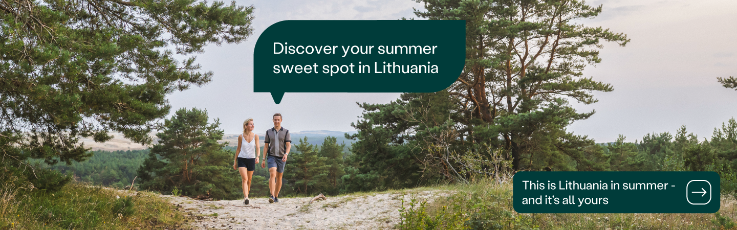
Summer in Lithuania
Summer is the season of fun, fun, fun in Lithuania. With the arrival of spring in late April, the country kicks into life. And with a good few months of sunshine to look forward to, there is plenty of time to explore the multitude of experiences on offer.
More information
Travel experiences
From travel requirements to tips and tricks to get the most out of your trip to Lithuania
More about trips in Lithuania


